Protomaps is an open source system for interactive web maps.
There are three major parts of Protomaps:
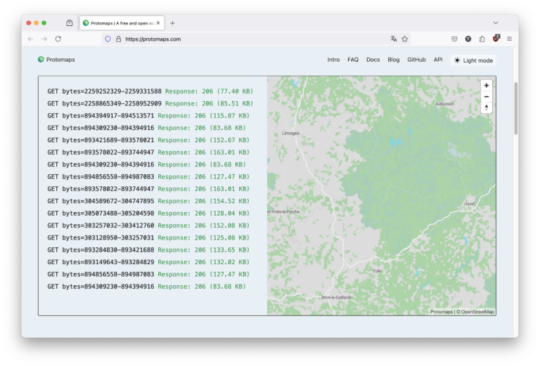
- PMTiles, an open archive format for pyramids of tile data, accessible via HTTP Range Requests.
- An ecosystem of tools and libraries for creating, serving and manipulating PMTiles.
- A cartographic "basemap" showing features in the world like roads, water bodies and labels, based on the OpenStreetMap dataset, and delivered as one big PMTiles archive.
Each of these parts has a corresponding section in the documentation.
If it's your first time trying Protomaps, the Getting Started guide will demonstrate all parts of the system.